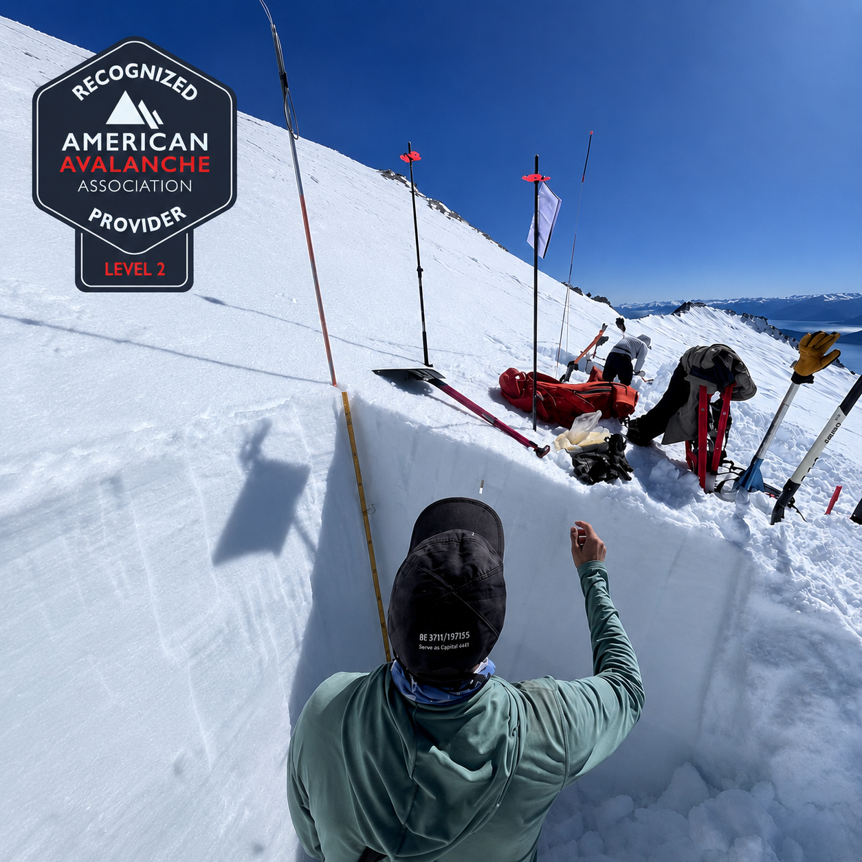
Welcome to the BCC Community! A new season of courses and training is here. Backcountry Cooperative is an A3 (American Avalanche Association) Recognized Provider and this course corresponds to the official Recreational Level 2 (REC 2) curriculum: upon completion you receive the internationally recognized certification.
The N2 is the leap to independence. In the N1 you learned to read the bulletin and operate with a given danger rating; in the N2 you learn to build your own assessment: apply the Conceptual Model of Avalanche Hazard (CMAH), link the season’s weather history to the snowpack structure, diagnose the Avalanche Problems when there is no bulletin, perform advanced profiles and tests (CT, ECT, PST, DTT) with consistent record keeping, and manage complex terrain (ATES) while leading group decisions.
The methodology is a flipped classroom: the pre-course in the BCC virtual classroom (readings, videos and short quizzes), two in-person sessions dedicated to building assessments with real cases and data, and two intense field days at Cerro López — with an overnight at Refugio López — of full application, with students leading the assessment, the itinerary and the debrief; the instructor accompanies, asks questions and gives feedback. All participants receive the BCC N2 Manual and the Field Book.
If you want to know more about the course format and content, tap the “itinerary” tab.
Expected Outcomes of a BCC Level 2
Upon completion of the course, participants will be able to:
✅ Apply the Conceptual Model of Avalanche Hazard (CMAH) to integrate snowpack, terrain and weather into a structured assessment.
✅ Build their own forecast and create an avalanche hazard assessment when no local bulletin is available.
✅ Link the season’s weather history to the current snowpack structure and layering.
✅ Use the bulletin alongside other resources: weather stations, field reports and forecasts.
✅ Prioritize observations and stability tests based on the current Avalanche Problems, with consistent field book records.
✅ Demonstrate deeper understanding of avalanche formation, triggering and release mechanics.
✅ Recognize and manage risk through planning and communication: human factors, group motivations, objectives and limitations.
✅ Apply travel protocols and techniques to mitigate exposure across varied and complex avalanche terrain.
✅ Lead briefings, mid-day reassessments and end-of-day debriefs with professional judgment.
BCC Level 2 – September
- Classroom: 09/09 and 09/10
- Field: 09/26 and 09/27 — Cerro López
Course Details:
📍 Classroom: In person at Colegio Qmark + BCC virtual classroom (study material, videos and quizzes).
🏔️ Field:
- Days 1 and 2: Trip to Cerro López with an overnight at Refugio López. Applied assessment, complex terrain and leadership — with advanced profiles and tests, and the central exercise of the course: building the day’s hazard assessment without a bulletin.
Certification: REC 2 — official A3 (American Avalanche Association) curriculum.
💰 Course Fee: 550 USD
Required equipment list:
Specific equipment:
– Touring skis with touring bindings and skins in good condition / Splitboard with bindings and skins in good condition.
– Ski touring boots / snowboard boots in good condition.
– Poles.
– Beacon with fresh batteries (>60%), SHOVEL AND PROBE (Mandatory)
– Helmet (Mandatory)
– Ice axe and crampons.
– Goggles
– Gloves (two pairs)
– Sunglasses / Sunscreen (+50)
Layered clothing:
– Thermal base layer (legs and torso)
– Fleece 100/200
– Waterproof shell jacket
– Down jacket
– Waterproof pants
– Ski socks
– Spare clothes (t-shirt, base layer, gloves, socks, underwear)
– Warm hat and sun cap
– Buff
Overnight and others:
– Sleeping bag (check hut requirements)
– Headlamp with batteries
– Camelbak
– Water bottle, 1 liter minimum
– Thermos
– Personal first-aid kit
– Cash (hut) and documents
– Notebook and pencil
– Camera
Rental equipment available:
– Skis/skins/bindings
– Splitboard
– Safety kit (Shovel, beacon and probe) ask for prices and availability
Location: Bariloche, Argentina (Cerro López — Refugio López)
Duration: Virtual classroom + 2 in-person classes + 2 intensive field days with a hut overnight.
Dates: July to October
Certification: REC 2 (A3 — American Avalanche Association).
Requirements: BCC Level 1 completed, or REC 1 + Avalanche Rescue certificates from an A3 Recognized Provider (proof required). Good off-piste skills, command of your touring equipment and physical condition for consecutive full days in winter.
Guides and ratio: 4:1
Maximum: 8 people
No ski resort day pass required.
– AAGM/UIMLA Ski Mountaineering Guide and avalanche instructors.
– REC 2 certification (A3).
– Access to the BCC virtual classroom.
– BCC N2 Manual and study material.
– Field book.
– Satellite communication service.
– Personal accident insurance.
– Lodging and transfers in Bariloche.
– Meals and lodging during the field days.
– Safety equipment.
– Ski touring or splitboard equipment.
– Any item not specified in the program.
Leave us your question!
BCC N2 – LÓPEZ: September 26 and 27
FORMAT:
The course follows the official A3 (American Avalanche Association) REC 2 curriculum and consists of three stages. The pre-course in the virtual classroom, where we review the fundamentals of Level 1 and add the advanced units. Two in-person sessions to build assessments with real cases and data. And two intense field days at Cerro López, with an overnight at Refugio López, where students lead the assessment, the itinerary and the debrief.
CONTENT:
Pre-course (Virtual Classroom)
– Introduction to the classroom and pre-course materials. N1 review: avalanche terrain, types, Avalanche Problems, sizes.
– Weather and layer formation: metamorphism, snowpack energy exchange, radiation effects.
– Near-surface and near-crust facets. Depth hoar and surface hoar. Melt-freeze crusts.
– Identification of persistent and non-persistent weak layers.
– Settlement, creep and glide.
In-person Class 1 — Hazard assessment: CMAH and advanced planning
– Triggering mechanics: initiation, propagation and slab structure.
– Yellow flags: the 5 structural snowpack problems and their relation to red flags.
– The public danger scale: real meaning, non-linearity, the problem with Considerable.
– Conceptual Model of Avalanche Hazard (CMAH): building your own forecast step by step.
– Default Hazard Rating method (Dangerator): when and how to apply it.
– Data confidence level: quantity, quality and relevance. Class 1, 2 and 3 data.
– Using weather stations, field reports and other resources beyond the bulletin.
– Advanced planning: maps and technology, travel time calculation, ATES 2.0 scale, accumulated exposure of the route.
In-person Class 2 — Snowpack evaluation, record keeping and field preparation
– Snow profiles in depth: layers, hardness, suspect grain types (facets, hoar, graupel).
– Advanced formal tests: CT, ECT, PST and DTT — methodology, interpretation, shear quality and fracture character.
– Spatial variability: limitations of the single pit, targeted sampling and pattern recognition.
– Record keeping and communication: field book, SWAG nomenclature, L.O.R.I. method.
– Advanced human factors: biases under uncertainty, communicating the assessment to the group, leadership.
– Planning workshop: groups build the hazard assessment and itinerary for Field Day 1 using the CMAH. Final briefing.
Field — Day 1: Applied assessment and navigation
– Start-of-day check (beacon / equipment). Student-led briefing: hazard assessment, decision points, go/no-go criteria.
– Observant travel: surface mapping, critical thresholds and red flags. Informal tests while moving.
– Profiles and formal tests at representative sites, with full recording.
– Student-led mid-day reassessment. Navigation with rotating leadership and exposure management.
– End-of-day review and field book.
Field — Day 2: Independent assessment and complex terrain
– Independent student briefing. More complex terrain than Day 1 (ATES 2.0): overhead exposure, margins and retreat points.
– The central exercise of the course: building the day’s hazard assessment WITHOUT a bulletin — using only your own observations, profiles and weather data — and then comparing it to the actual bulletin.
– Additional profiles: synthesis of spatial and temporal variability across both days’ pits.
– Fully student-led itinerary; the instructor intervenes only for safety.
– Applied descent, individual self-assessment, limits of the level and course close.
FIELD: Cerro López – Refugio López – 2 intensive days.
The objective of the trip is to apply all the knowledge developed during the workshop. Cerro López offers plenty of skiable terrain with different difficulties, aspects and conditions — ideal for working on terrain selection at micro and macro scale and managing a group in complex terrain. Some specific topics covered in the field:
– Quality observations and use of the field book for AM/PM planning.
– Quick profiles to obtain quality information.
– Informal tests: methodology, application while moving, interpretation of results and tracking their distribution.
– Formal tests (CT, ECT, PST, DTT): methodology, communication of results, interpretation and relevance.
– The no-bulletin assessment exercise: from observations to a hazard rating.
– Use of ice axe and crampons. How to move safely on steep snowfields.
– Terrain selection at micro and macro scale on the ascent. Accumulated and overhead exposure.
– Group communication. Objective and subjective hazards. Leadership and debrief.
– Descent techniques. Regrouping spots and descent plan.
We will access Refugio López via the trail from the base of the mountain, climbing with packs carrying all the necessary equipment to the hut (approx. 10 kg). We will spend one night at the hut, and practice will take place nearby — depending on the group it can be a longer outing. Participants must therefore have ski mountaineering experience, moving through the terrain with a day pack (approx. 5 kg).
Days of approximately 8-10 hours are expected.
Please note that the trip location may change depending on snow conditions and weather during the planning days.